Case Studies – Port Road Drainage Project Stage 2 and 3
-
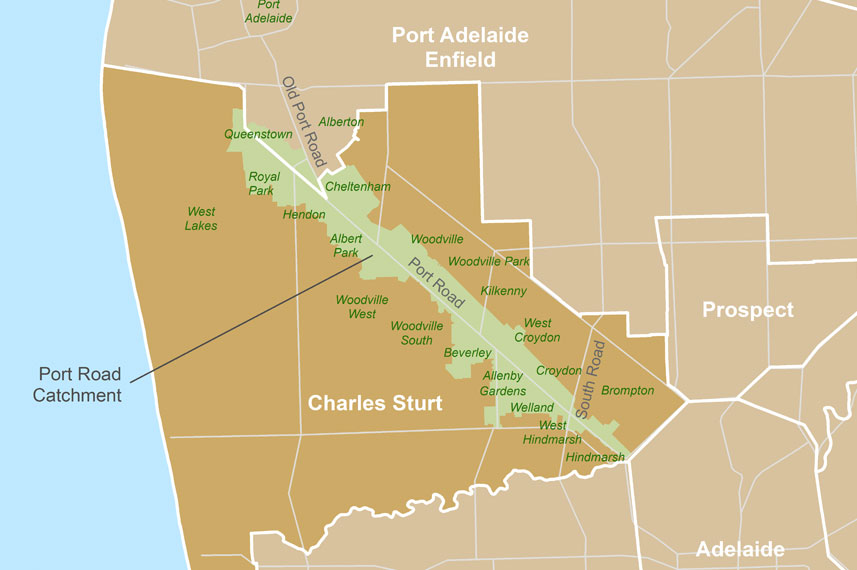
Locality
-
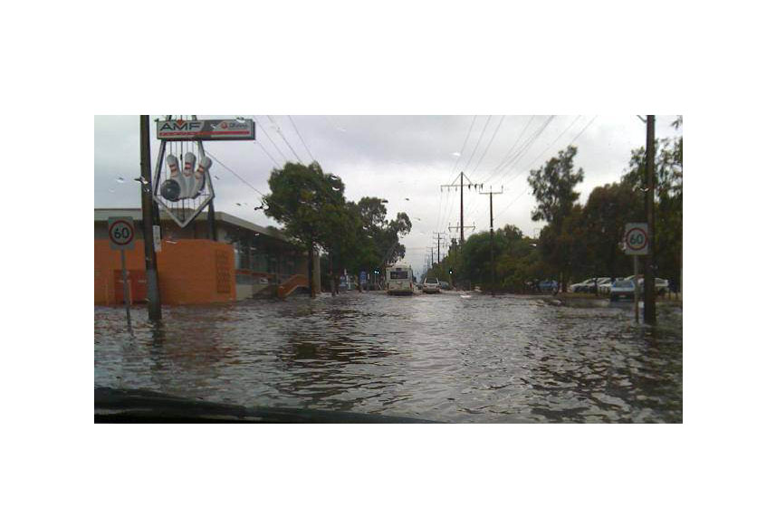
Flooding on Port Road at Cheltenham (City of Charles Sturt. Used with permission.)
-
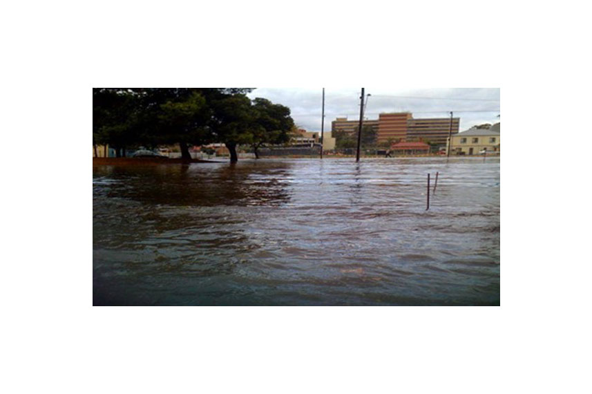
Flooding at the Queen Elizabeth Hospital (City of Charles Sturt. Used with permission.)
-
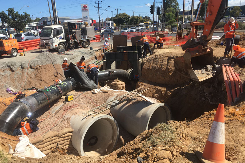
Construction work progressing under West Lakes Boulevard. (City of Charles Sturt)
-
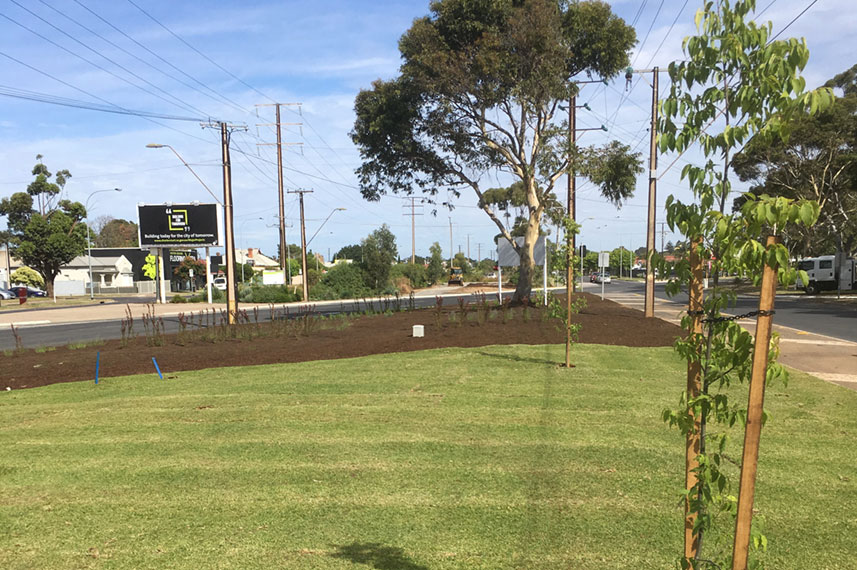
Port Road median strip after construction and landscaping
Quick Facts
Project Proponent(s): City of Charles Sturt
Project Manager(s): City of Charles Sturt
Principal Contractor(s): Leed
Total Cost: over $33 million
SMA Contribution: $11.8 million
Other Funding Contributors:
• City of Charles Sturt
• Department of Planning Transport and Infrastructure
• Adelaide and Mount Lofty Ranges Natural Resources Management Board
Port Road is a major arterial road connecting Adelaide and Port Adelaide in South Australia. The road traverses Adelaide’s north-western suburbs and passes for most of its length through the City of Charles Sturt. Following settlement by Europeans in 1836, Port Road was one of the first roads established in the new colony of South Australia.
The Port Road median strip is exceptionally wide as it was originally conceived to carry a railway and a canal. Eventually the railway was built to the east of Port Road, and the canal never eventuated. Today the wide median strip offers an opportunity for more ecologically sustainable stormwater practices, such as through the Old Port Road Wetlands which have been established to improve stormwater quality prior to discharging into the Gulf St Vincent.
The Port Road catchment drains areas on both the north and south sides of the road along its length. Prior to the project, stormwater was carried in an underground drain beneath the Port Road median strip and through the Old Port Road Wetlands into West Lakes, and then the Gulf St Vincent. Most parts of the drain under the median strip were constructed between the 1940s and 1960s, and the drain had a capacity of less than the 63% annual exceedance probability (AEP) storm event. To put this another way, there was about a ‘5 in 8 chance’ that the drain will overflow causing flooding at least once in any year. Many properties along Port Road experienced frequent flooding, sometimes several times a year, and major public infrastructure was also impacted including access and egress to the Queen Elizabeth Hospital and the SA Power Networks substation at Woodville.
In 2002 the City of Charles Sturt began developing the Port Road Rejuvenation Stormwater Management Plan, which was approved in 2007. The Plan recommended works across the catchment staged over several years. Stage 1 works, which included the Old Port Road Wetlands, were completed in 2014.
Stage 2 works included increasing the capacity of the drain under the Port Road median strip for approximately 2.6 kilometres between the Old Port Road Wetlands and Park Street South, Woodville. The Stage 2 works are designed to decrease the frequency of flooding of residences and business along Port Road and, importantly, ensure safe access and egress to the Queen Elizabeth Hospital in a flood event up to the 1% (or ‘1 in 100’ chance) AEP.
Stage 3 (final works) have now been completed. This included a 2.3 kilometre drainage upgrade, installation of an underground detention tank, and extension of the recycled water network. It also included upgrading of existing carparking, construction of self watering tree pits, extension of shared use pathways and lighting.
For more information see the City of Charles Sturt project website.